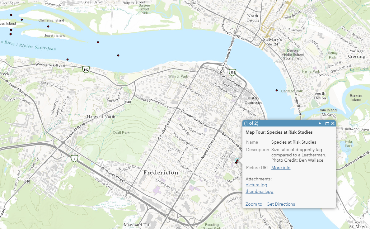
MAES Study Area
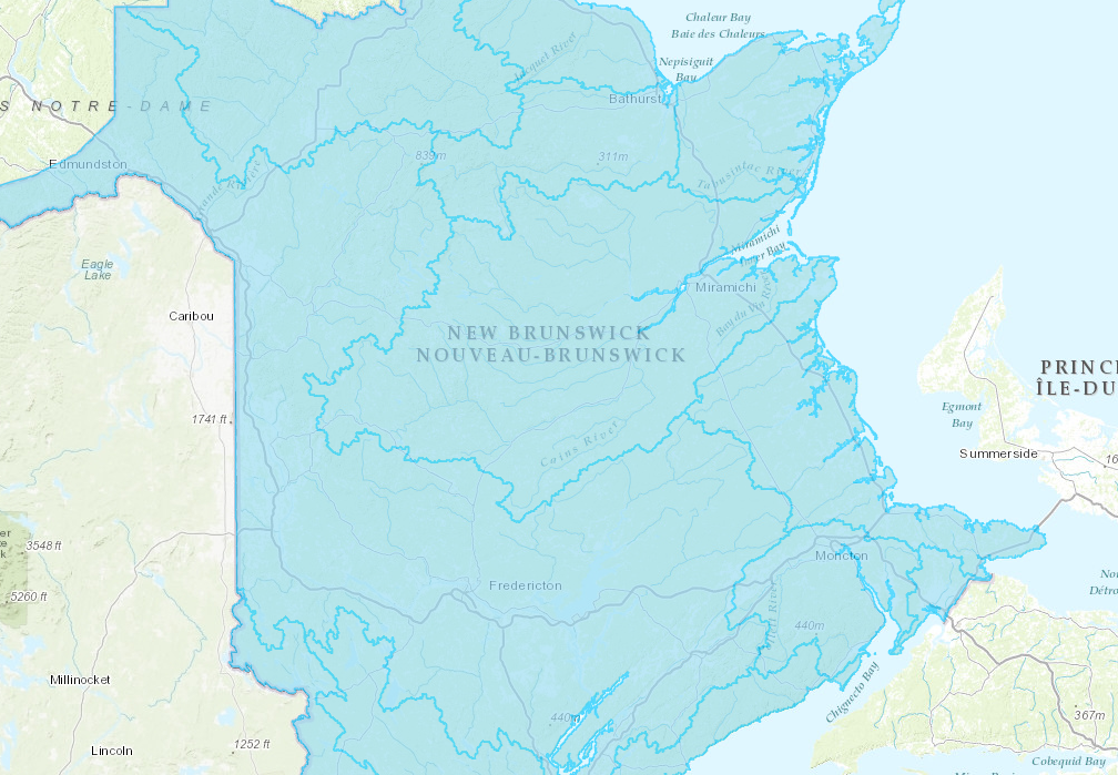
The Wolastoq | Saint John River is the second longest river in eastern North America (55,000 km2). At the MQGS, the river discharge averages ~1000 m/s with river widths and depths averaging 750m and 2m, respectively. The river supports the greatest diversity of aquatic plants and animals in eastern Canada, including 15 species at risk. The watershed extends beyond New Brunswick into the Province of Quebec and the State of Maine. Within New Brunswick, the watershed is within the unceded traditional lands of the Wolastoqey Nation. Development began in the watershed in the 1600s with logging, fisheries, and later heavy industrialization, but the watershed remains 80% forested with a human population of ~500,000.
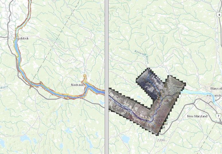
There are >200 dams across the river network with 11 hydroelectric generation stations and of these, the MQGS is the largest with a nameplate hydroelectric generating capacity of 672MW (6 Kaplan-type 112 MW units). The earthen and concrete structures of the dam span ~1,100m and it is 55m high. The MQGS reservoir covers an area of 84km2 and extends 100 km upstream (see for a full assessment, Kidd et al. 2011).
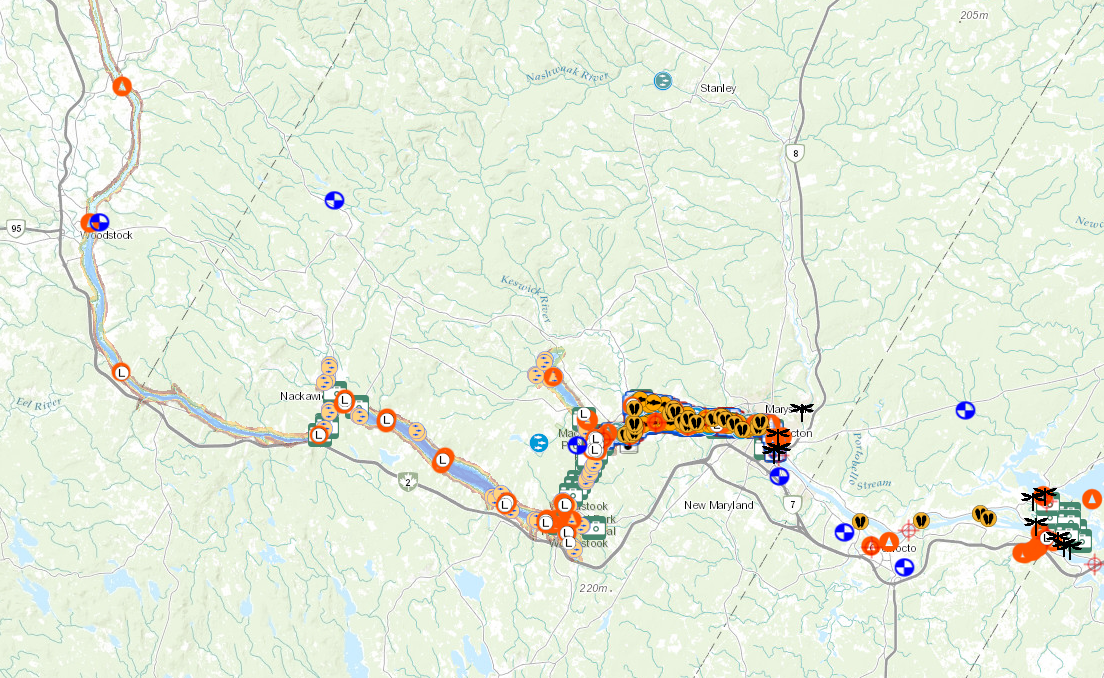
View the map application in new window here.

